Rongai Route
The Rongai Route climbs Kilimanjaro from the drier north, away from the crowds. What to expect on the route, and our Rongai climbs.
Also on this route: 7 Days Rongai Route
Kilimanjaro climb
Mount Kilimanjaro offers six established routes for climbers: Marangu, Machame, Lemosho, Shira, Rongai, and Umbwe. Among these, the Marangu, Machame, and Umbwe approach from the south, while the Lemosho and Shira routes approach from the west. The Rongai route, on the other hand, approaches from the north, near Kenya. All routes, except Marangu and Rongai, descend via Mweka.
The 6 Days Rongai Route: Serene Wilderness and Gentle Ascents
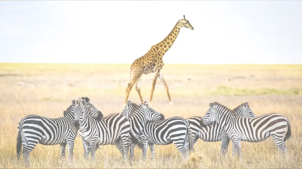
Offering a tranquil trekking experience away from the crowds due to its remote location, the Rongai Route presents adventurers with a unique wilderness encounter where sightings of large wildlife such as antelope, elephants, and buffalo are possible. Situated on the drier side of the mountain, this route boasts fewer rain encounters and clearer views of the peak.
Although relatively flat, the Rongai Route lacks the ‘climb high, sleep low’ approach, necessitating additional days for acclimatization. Nonetheless, it is considered one of the easier routes up Kilimanjaro, being the sole route to approach from the north and descend via the Marangu Route. Summit night from Kibo Hut entails a steep ascent, following the same path as the Marangu Route, leading past Gilman’s Point to the illustrious Uhuru Peak.
before ascending from the east for the summit bid.
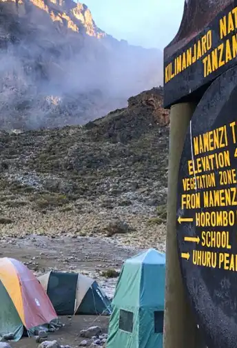
Departing from Moshi a 4-5 hour drive will take you through the coffee plantations and Village of Nale Muru to the Kilimanjaro National Park Gate. We will patiently wait for our permits to be issued while watching the hustle and bustle of operations as many crews prepare for the journey ahead Enjoy the beautiful wooded scenery, and windy trails while your guide tells you about the local flora and fauna and natural wildlife you are likely to see. Simba camp sits near the first cave at the edge of the moorland zone with spectacular views of the plains of Kenya.
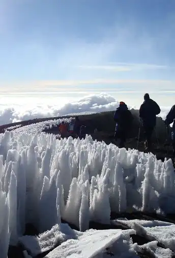
After a good night sleep and a hearty breakfast we continue along moorland terrain on a consistent ascending path. You will catch some terrific views of Kibo and get your first glimpse of the ice fields on the Eastern crater rim. The small shrubs of the moorland became thinner as you approve the Second Cave. Temperatures begin to drop.
After breakfast and packing, you continue your stead ascent, entering into the semi-desert terrain. This relatively short hiking day brings you closer to the Easter ice fields, continually drawing your attention to their beauty. Pay attention to your body and keep your guide informed of any signs of altitude sickness.
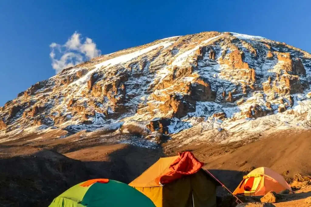
As you depart early the semi-desert zone from the Third Cave early in the morning and begin your trek into the Alpine Desert terrain for the remainder of your ascent. Today’s hike will take you just below the Kibo crater wall to the Kibo Huts. At this point, you will merge with the Marangu Route, which you will use to hike to the summit. You will prepare your clothing and equipment (replace batteries for headlamp and camera) before you go to bed by 7 PM and try to catch a few hours of rest before your summit attempt.
Elevation: 5174m/16975ft to 5895m/19,341ft
Altitude gained: 721m
Descent to 3721m/12,208ft
Altitude lost: 2174m
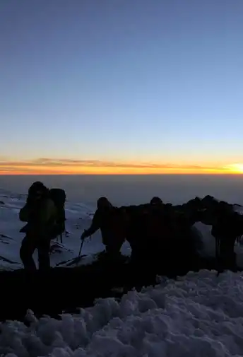
Excitement is building as morning comes with an early start between midnight and 2 a.m. This is the most mentally and physically challenging portion of the trek.
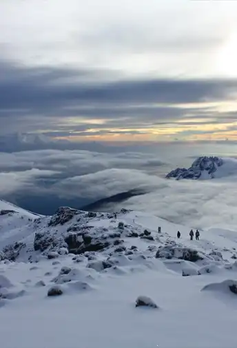
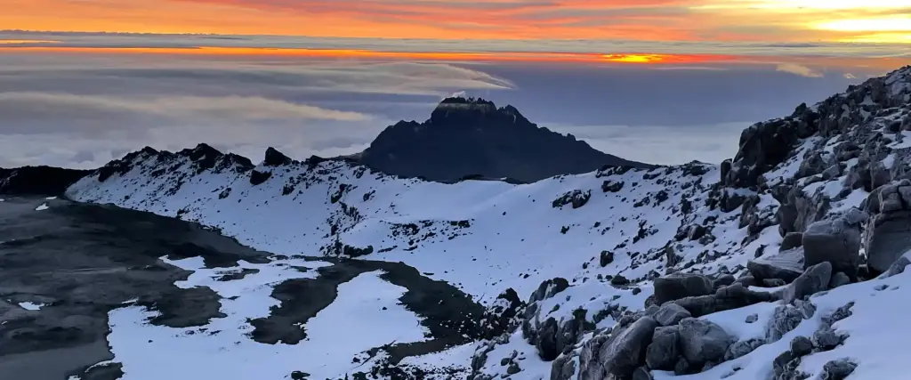
We continue our way to the summit between the Rebmann and Ratzel glaciers trying to stay warm and focused of the amazing sense of accomplishment that lies ahead. With a switchback motion in a northwesterly direction and ascend through heavy scree towards Stella Point on the crater rim. You will be rewarded with the most magnificent sunrise during your short rest here. Faster hikers may view the sunrise from the summit. From here on your remaining 1 hour ascent to Uhuru Peak, you are likely to encounter snow all the way.
Congratulations, one step at a time you have now reached Uhuru Peak the highest point on Mount Kilimanjaro and the entire continent of Africa!
After photos, celebrations and maybe a few tears of joy we take a few moments to enjoy this incredible accomplishment. We begin our steep descent down to Mweka Camp, stopping at Barafu for lunch and a very brief rest. We strongly recommend gaiters and trekking poles for uncooperative loose gravel and volcano ash terrain. Well-deserved rest awaits you to enjoy your last evening on the mountain. Overnight Mweka Camp.
After breakfast and a heartfelt ceremony of appreciation and team bonding with your crew it’s time to say goodbye. We continue the descent down stopping at the Mandara Huts for lunch. Remember to tip your guides, cooks, and porters, since you will be leaving them here. You return back to the Marangu Park Gate and receive your summit certificates. As the weather is drastically warmer, the terrain is wet, muddy and steep and we highly recommend Gaiters and trekking poles. From the gate, a vehicle will meet you to drive you back to your hotel in Moshi (about 45 minutes). Enjoy a long over due hot shower, dinner and celebrations!!
Route guide
The Rongai Route climbs Kilimanjaro from the drier north, away from the crowds. What to expect on the route, and our Rongai climbs.
Also on this route: 7 Days Rongai Route
You might also like
Tripadvisor reviews
Excellent Trip of a Lifetime
Our family had the trip of a lifetime over the holidays. Our guides were amazing and always checked to make sure that we had everything we needed. In less than 2 weeks we got to do a short safari in Ngorongoro Crater, did a family visit as part of the cultural experience (my kids are still talking about how good the food was!!), visited Moshi for shopping, went to Dar Es Salaam and did a 2 day trip to Zanzibar. The logistics were all very smooth and the guides added humor and levity to the entire trip. We were in good hands and will never forget the hospitality shown to us while there. The best thing about the packages is that you can work with the team to tailor it to your exact timeline. We had to get back to work and school so opted for a short Christmas trip but we'll eventually go back to do a longer summer trip. Forever indebted for such a great experience!
Trip of a life time!! But why not go back?
BEST VACATION!!!! Eye opening, amazing, Beautiful and REAL. The safari was my favorite part. Seeing animals you learn about and dream of seeing right in front of your face. The food was great I ask you to be open and not get your norm. Safe? Yes. Of course there’s times you question a new country, area and people. There was never a moment I was in question of people or my surroundings. Next time I’m bring my kids they’re older and can help pay… hahaha. I heard it’s best not to go during the rainy Season it’s just easier and more enjoyable to get around. Just what people have said.
Great experience
Had a wonderful Safari experience in Nothern Tanzania. Got to see some Lions very closely. Best experience in a very long time tbh.
It was an amazing experience!
Awesome experience! Beautiful and exciting destination full of nature! We went during fall but anytime of the year is recommended. Planning for my next trip there!